Trending

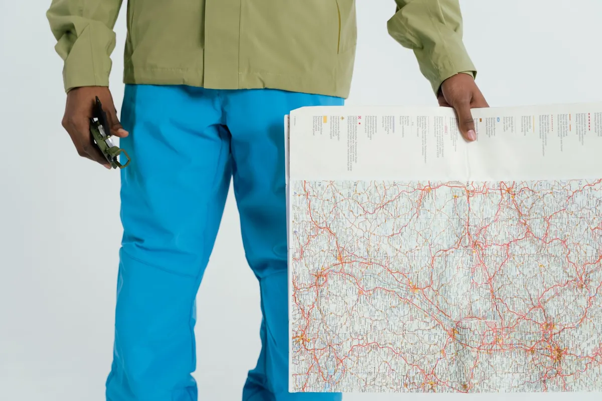
A trail map is not a picture of the countryside. It is a set of instructions, written in a code you can learn in an afternoon.
Most people who lose their way on a well-marked path do not lose it because the map was wrong. They lose it because they read the coloured lines and skipped the margin: the numbers, the tiny symbols, the shape of the contours. The code is smaller than it looks. A legend, a scale, some contour lines and a grid. Learn those four and a folding sheet of paper becomes a plan you can trust.
When you open a new map, resist the urge to hunt for the trailhead. Start in the corner where the legend sits and read it properly, the way you would read the small print on a booking form. Publishers differ. A national mapping agency, a national park authority and a commercial hiking brand can draw the same path three different ways, and a favourite symbol from one map may mean something else entirely on another.
Look for these groups of information:
A dashed line does not automatically mean "easy". On many maps it means "unconfirmed" or "not maintained", which is a very different promise.
A scale of 1:25,000 means one unit on the paper equals 25,000 of the same units on the ground. In metric it is pleasantly simple: 1 cm on the map is 250 m of real ground, so 4 cm is a kilometre. On a 1:50,000 map, 2 cm is a kilometre.
Which one to carry depends on the job. A 1:25,000 or 1:30,000 map earns its weight on foot, especially where junctions are close together, paths are faint, or you want to see fences, walls and stream crossings. A 1:50,000 sheet is fine for long days on obvious trails and better for seeing how a whole valley fits together. Many hikers carry the detailed map and photograph the overview one.
Scale also sets your expectations for time. As a rough rule of thumb, a steady walker covers about 4 km/h on flat ground with a light pack, and adds roughly an hour for every 600 m of ascent. Then add the things nobody plans for: heat, a long lunch, photographs, a herd of cows across the path.
Contour lines join points of equal height. The contour interval — the height difference between one line and the next, often 10 m or 20 m — is printed in the legend, and every fifth line or so is drawn heavier and labelled with its elevation. Those heavier lines are your anchors.
Read the spacing first. Lines packed tightly together mean steep ground. Lines that spread out mean a gentle slope. A hillside you can stroll up with your hands in your pockets looks completely different on paper from one that will have you grabbing at heather.
Then read the shapes. A contour that bends into a V is following a valley or stream, and the point of the V aims uphill, so a stream always sits in the crook of the V. Where a contour bulges outward and the point aims downhill, you are looking at a spur or ridge between two valleys. A closed circle, often with a spot height beside it, is a summit or a knoll; a cluster of hachures or a thick block of lines marks a crag or cliff.
Try this before you leave: ignore the path line entirely for a minute and look only at the contours. Where does the climbing happen? Is there one honest 400 m pull, or a series of small undulations that will tire you quietly?
Grid lines form a square net across the map, numbered along the margins. Coordinates are read right and up: the easting first, then the northing. On many 1:25,000 maps each square is a kilometre across, which makes distance counting easy once you confirm it in the margin.
Grid north is not the same as magnetic north, and neither is quite the same as true north. Somewhere in the margin you will find a compass rose, often drawn as two or three arrows with angles printed between them. The gap between grid north and magnetic north is declination, and it shifts over time and by region; the margin usually tells you the year the figure was calculated. When you take a bearing from the map and follow it with a compass, that difference matters. Many modern compasses let you set declination once and forget it.
Getting into the habit of orienting the map — laying it flat and turning it until map north matches the compass needle, once declination is accounted for — fixes more navigation errors than any other single action.
Line style. Compare the path you plan to walk with the legend one more time. A solid line is usually a maintained, waymarked trail; a dashed line may be a route that exists mostly in intent.
Crossings. A bridge is a certainty. A ford is a decision, and one that reads very differently after three days of rain or during snowmelt.
Boundaries and gates. Fences, walls and stiles tell you where you can and cannot go, and a boundary line running along your route may mean a locked gate or a detour of several kilometres.
Water. Streams drawn with broken lines are often seasonal. Do not plan your day's refill around one in late summer.
Shelter and transport. Huts, refuge boxes, bus stops and parking areas are worth noting before you set off, not after your legs give out.
Navigation is mostly a habit of checking early and often, rather than a skill you summon in a crisis.
A catching feature is worth a sentence of its own. If you are aiming for a junction and the path continues, the stream beyond it is your alarm bell: cross that stream and you have missed the turn.
Check the edition date on the map and whether local trails have changed; park authority websites and visitor centres usually flag closures and reroutes. Carry a paper copy even if the route lives on your phone, keep it in something waterproof, and download any offline maps before you leave the car. Tell someone where you are going and when you expect to be back, and pack a compass you actually know how to use — a map without one is half a tool.
If you are new to this, a first day out with someone experienced, or a local guide, will teach you more in an hour of walking than a week of reading. After that, the margin becomes the most interesting part of the map: the small numbers that turn a pretty drawing into a route you can follow with confidence, whatever the weather does to the path.
Photo: Tima Miroshnichenko / Pexels